Today we crossed back I to the US, of course we had to do it in style, we crossed into Alaska at the most northern land border crossing we could find! We only had to drive 60 some odd miles across a road called ‘The Top of the World’…totally worth it!
I wonder what the 3 residents do when they are off duty?
We made a stop in Dawson City, after seeing a wolf near the end of the Dempster and after washing the wee Rover, ourselves and our very dirty clothes. A restocking of groceries and a celebratory ice cream cone were in order after the Dempster! We wandered around town a bit, took a look at Jack London’s cabin, decided that was enough town for us and headed to the ferry across the Yukon River and to the Yukon River Campground.
Wolf next to Dempster HwyHe gave us an exasperated look. I think we disturbed his hunt.Hey look! The wee rover is actually green!
After dinner and a quick dip in the Yukon we went for our usual evening stroll. The river has a wide bank at this time of year perfect for a walk, so we headed away from town.
Guess what we found?! 3 old paddle wheelers from the days of the gold rush! You can climb around, in, on, or through the old girls. I climbed up onto the deck and couldn’t help thinking of the stories these ships could tell. The stories of the fortunes won and lost in the gold mines.
This is sitting just above the high water mark. There is at least 2 more behind it.It looks like it could start turning at any moment.Keeping the past alive with a modern recreation.
Last night we slept next to the Klondike River and went for a dip. Tonight we are camping just north of Dawson City on the Yukon River and couldn’t resist going for another dip!
In the Vermont 100 Mile Endurance Run there is an aid station at about 60 miles called Tracer Brook. When you get there, you have been running south all day. At Tracer Brook, you make the turn north towards the finish. You are no longer going away; you are going home. It’s still a hell of a long way but you are now going in the right direction. It is a huge milestone in the race.
We made the Tracer Brook turn when we left Tuktoyaktuk . We have been travelling roughly North since leaving Florida and after 3 months on the road we have reached the farthest north one can drive in North America, Tuktoyaktuk, North West Territories Canada!
We made the turn at Tracer Brook! We are headed South!
As some of the pics show, there is a bit of dust on the Dempster! (When it’s not in the form of mud!) Over the 550 miles northbound the dust became a standing joke. One of us would call out “truck ahead!”. The other would look out over the vast arctic plain and see a plume moving across some distant mountainside 5 to 10 miles away and respond “I guess that’s the road!”. A half an hour later the gravel truck would appear and we would crank closed the dash vents and windows as we passed through the plume.
A distant plume of dust on the horizon.And then there was our own dust that some how circulated back inside.
Each night while prepping to camp we would sweep the dust out of every corner and crevice of the Rover. Resistance was futile!
We tried to resist…it was futile!
In Inuvik we purchased some foam weather stripping to try to stop some of the dust entering the Rover. The First Nation guy behind the counter said “Vermont?!, that’s a long way to come for weather stripping!” Too funny, but he had a point!
Special Inuvik weather stripping.Installation complete!
We will let you know if the added weather stripping helps.
Once you travel the Dempster and arrive in Inuvik, you now have the option to travel another 100 miles on the new Inuvik to Tuktoyaktuk Hwy to the Arctic Ocean. Of course, we had to go!
We awoke to a beautiful morning, a definite must for traveling this road, and adventured north. The road is still being ‘fine tuned’ so there are patches of mud where the permafrost is winning and sections that make your teeth rattle. The gravel trucks run non-stop and the locals see it as a new super highway.
Tuk until this year could only be reached by sea or air. The ITH (Inuvik Tuktoyaktuk Highway) across the permafrost north to Tuk connects it to the rest of the world. The small village could be a fishing village on the coast of Newfoundland, Maine, or Scotland where people are eeking out a living in a tough place.
We had Muskox burgers, stood in the Arctic Ocean(no swim), and met some nice people.
We had a beautiful day and an epic adventure!
Luckily, we had a nice day so the road was open. Last week it was closed because of rain. 99 miles to Tuk!We made it, thanks to my expert driving.Our toes in the Arctic Ocean. I know our friends are disappointed we didn’t go for a dip (too big of an audience:)The wee Rover didn’t get to dip her tires in the Arctic Ocean, she had to settle for a picture under the sign.As usual, Darrin found someone to talk to. This is Bogie, self appointed local historian, lived in Tuk all his life and a great sharer of local life in Tuk.A recreation of a First Nation home.These are a Pingos. I can’t remember how they are formed, but the center is ice and the First Nation people used to use them as a refrigerator.
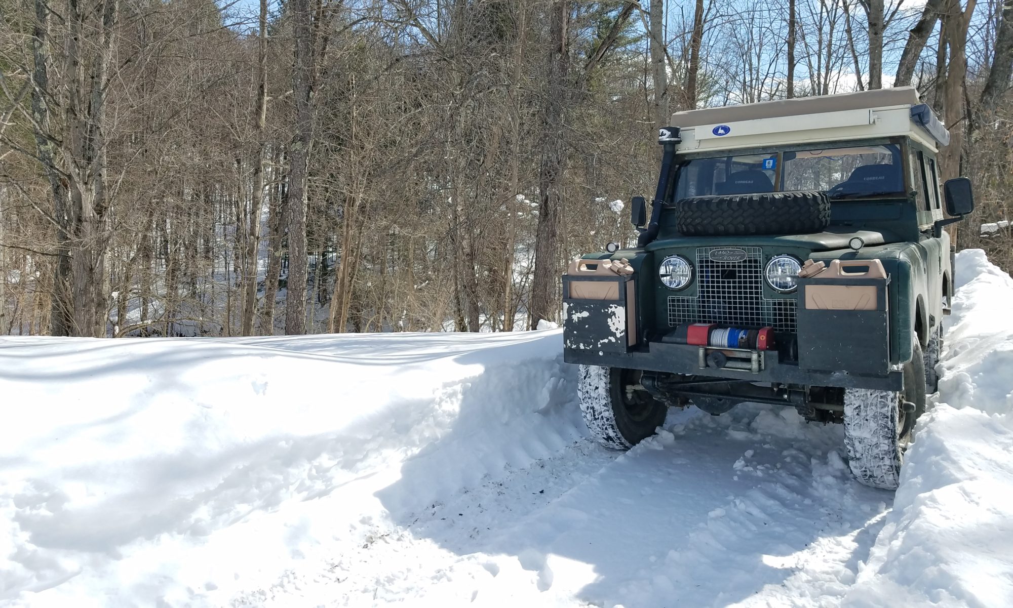
We (aka Darrin) did a ton of research prior to our departure on what tires to put on the rover. We chose Toyo M-55’s 11 ply traction & snow tires. They are produced for use on logging and construction vehicles. They are a bit loud and give a bit of a rough ride, but they have been spectacular so far. Especially on the last 1500 miles of mud, rocks, dirt, and sand that make up the Campbell Hwy, the Dempster Highway and the Inuvik to Tuktoyaktuk Highway.
A car we were leapfrogging up the road was running BFG All Terrains which was the other choice we were thinking about. They were stranded for a day when a stone about the size of a large pencil eraser was pushed straight through the lugs of the tire.
To think of our tires and everything we have put them through over the last 3 months and especially the last 1500 miles one would think they would be trashed, but in reality they actually look like we just drove to the mall!
I can find no cuts or damage of any kind; amazing!
One of the highlights of the Dempster is crossing the Arctic Circle. After this point, we are in the ‘Land of the Midnight Sun’ where the sun never goes down, but just circles around the sky.
We made it!The wee Rover chugged her way to the Arctic Circle. She went where other vehicles didn’t dare go!
Days before we arrived at the beginning of the Dempster Hwy and the Inuvik to Tuktoyaktuk Hwy (ITH), people warned us about them. Oooohhhh! Watch out! Have 3 spare tires! Get ready to have your windshield broken! But don’t get it fixed as you will have it broken again! Etc…….
Turns out it was one of the most awesome drives ever! But…..
Here is what we actually saw; sorry there are not pics of everything due to the heat of the moment.
We came upon a burning road crew truck on the ITH. We grabbed our fire extinguisher and helped put it out. The guys were very appreciative They set us up with a couple of extra extinguishers when we returned to Inuvik and a promise that if we ran into trouble on the trip south to call them and they would rescue us.
The Heroic Fire Brigade!I was driving, so I monitored the situation from afar with my carrot stogie.
Too many broken windshields to count. We think it was a local badge of honor as the locals fly up and down the road. One local told us the next section of road was an hour drive…it too us two and a half!
Tire carcasses and blow outs due to the rocks that make up the roads.
One broken axle on a trailer.
One bent wheel on a jeep.
One wheel popped off a very large delivery truck. And another large truck driving with a shredded tire.
Campers that now squeak and are definitely going to need some repair work.
Very large gravel trucks. They are still putting fine touches on the ITH, it just opened a few months ago, and the gravel trucks run constantly.
Several landslides. Unaware to us a large landslide closed the road behind us as we traveled north. The road was still being cleared when we were coming south and the river below it had had a new island!
A large landslide that closd the risd behind us for 2 days. They were still cleaning it up when we came back down.
Rain closing the road. The road to Tuk was closed for 3 days just prior to our arrival in Inuvik. The “weather window” is a common topic of discussion as you travel north as it can change the road conditions drastically. We were lucky enough to have a beautiful day for our drive from Inuvik to Tuktoyaktuk.
The Bugs! Some days there were none and others were beyond description!
The Dust! I think it will take many showers for us and the Rover to be clean again.
Black Mud. The road is made from whatever stone or rock is nearby, in the case of black mud the road is made from ground up oil shale. When it gets wet, it is mud lubricated with oil.
On our way south, we came upon a truck & camper playing a game of chicken on the Dempster in the infamous Black Mud. The truck lost when it pulled over to let the camper pass. We pulled to the side a bit to get out of the campers way and proceeded to begin sliding sideways off the road. We popped the rover into 4WD and tried to back into the center of the road. We slid closer to the edge and a potential roll over (the road is built high above the permafrost), we then dropped it into low range and the wee Rover crawled her way back to the packed center of the road. We were unable to help the other truck but we were lucky to flag down a road crew who very nicely brought a road grader to pull the truck back onto the road.
We had snow, hail, fog like pea soup, rain, 24 hours of sun, dust that coated the inside of the rover, mud that coated the outside of the rover, a road rough enough that we may have loosened a few fillings, a road smooth enough that it felt like pavement, skies so clear you could see forever, and views that humbled the soul!
Constantly changing weather and road conditions.After we came over the Richardson Pass in thick fog, a rainbow came out.
We drove slow and had no flat tires, no cracked windows and the wee Rover out did herself!
The Dempster Highway is a 450 mile out and back gravel road from the Yukon, past the Arctic Circle to Inuvik in the Northwest Territory (550 miles if you travel the new extension to Tuktoyaktuk for a total round trip of 1100 miles). It crosses different landscapes and climates. It climbs over the continental divide (3 times each way) and sinks all the way down to sea level. The weather can change in an instant and thus the road conditions. It is an amazing journey that should be on everyone’s bucket list and cannot not be described in words…so we will use pictures over the next few blog posts to give you a glimpse.
And we’re off!550 miles of gravel road to Tuktoyaktuk and the Arctic Ocean.Tombstone MtsOgilvie Mts. Looked like the moon.Ogilvie MtsStorms sneaking up behind us. The weather can drastically change the road conditions.Ferry across the MacKenzie River!Gravel pits are everywhere from building the road (they used whatever materials were close by). They made great free campsites! Zoom in to see the wee Rover!Aedan is hiking the Trans Canada Trail. He has been out for a year and a half and figures he is halfway done. Amazing young man.Everything is built on permafrost which can make for some amazing mud!